

We all know how important it is to monitor the quality of the air we breathe. Unfortunately, not all of us have the means to do so. But did you know that you can actually check the air quality in your area using Google Maps?
Yes, that’s right! Google has a nifty feature that lets you see the air quality in any location around the world. And in this guide, we’ll show you how to use it.
So, without further ado, let’s get started!
Check Air Quality Using Google Maps
Checking the air quality on Google Maps is a pretty simple process. Just follow the steps below:
- Step 1: Open the Google Maps app on your mobile device.
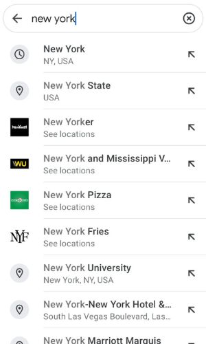
- Step 2: Search for the location whose air quality you want to check.
- Step 3: Tap on the “Information” icon
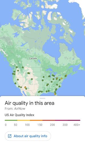
- Step 4: Scroll down and tap on “Air Quality”.

- Step 5: You should now see the air quality index for that location. The higher the number, the worse the air quality is.
Wrapping Up
And that’s how you can check air quality using Google Maps. It’s a pretty neat feature that can come in handy if you want to avoid locations with poor air quality.
